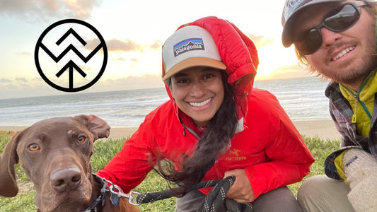
Good To-Go ambassador Heather "Anish" Anderson recounts her recent thru hike of the Benton MacKaye Trail, sister trail to the Appalachian Trail. But first—if the name doesn't ring a bell—Heather, better known as her trail name, "Anish", deserves a proper intro.

Anish is an accomplished endurance athlete and thru hiker. She was recently named National Geographic Adventurer of the Year, as the first woman to complete a Triple Crown (aka hiking the country's three major long trails) within a calendar year—a total of 7,944 miles. Only a handful of other people share this achievement. Beyond her accomplishments on the trail, Anish has authored two books. Her most recent, Mud, Rocks, Blazes: Letting Go on the Appalachian Trail, is available for purchase here.
Now, on to her story on the Benton Mackaye Trail Thru Hike.

Suffice it to say, anyone who lived through 2020 knows that everything was upended. For me—a prolific long-distance hiker—this included a host of planned adventures. After nearly a year of cancellations, my husband and I finally landed on an option for thru hiking that was not only regional for us, but also remote and uncrowded.
Which is how I found myself standing at a bridge in the Big Creek parking lot in Great Smoky Mountains National Park last October.

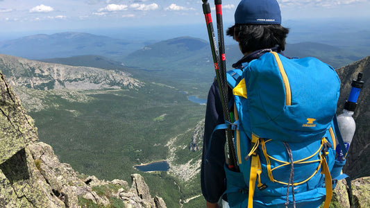
The nearly 300-mile-long Benton MacKaye Trail extends between the northern end of the Smokies and the slopes of Springer Mountain in Georgia. For many hikers, Springer mountain is famous as the southern terminus of the Appalachian Trail. Few people know of its sister trail sharing the terminus. Benton himself was one of the driving forces behind the creation of the Appalachian Trail. This paralleling route through the rugged ranges primarily west of the AT bears his name. Some sections of the BMT were actually original proposed routes for the Appalachian Trail corridor. Throughout the hike I tried to imagine what the AT experience would be like if it traversed through the remote land I was now walking.
Our hike began with a strenuous climb up into the Smokies. Through the park we traveled long ridgelines and enjoyed frequent views to the Pisgah National Forest and to the central spine of the park where the AT lay. Both of us had hiked the AT prior, myself 3 times, and so it was fascinating to view it from a new vantage. Despite our hopes that this would be an easy hike, we discovered we’d accidentally booked our Smoky Mountains permits 28 miles apart each day. Our packs were heavy with shoulder season gear, but we hoofed it early and sometimes into the dark to reach them. It was strenuous start to what was supposed to be our vacation! Little did we know that the Smokies would be the easier part of the trail.

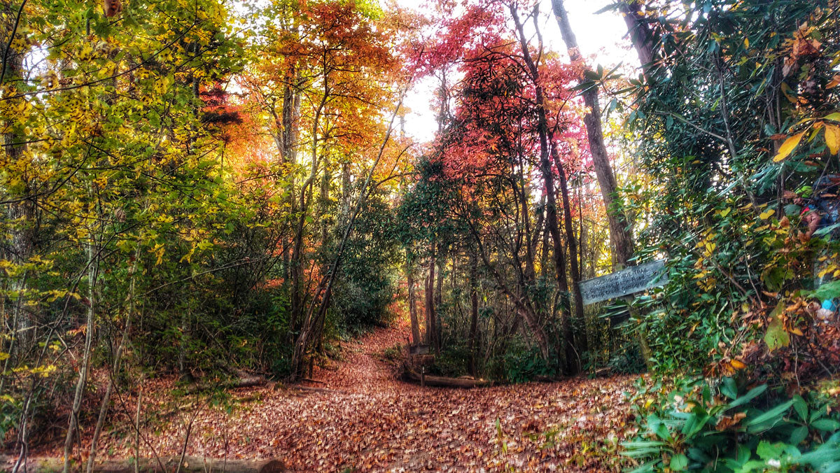
North Carolina is endowed with incredible mountains and biodiversity. It’s also rugged beyond belief in some areas. These areas are, as we discovered, frequently located along the BMT. The terrain through the Joyce Kilmer Wilderness was typical Appalachian style…more roots and rocks than tread and nearly vertical. However, our reward came in views of the rolling beauty of the southern Appalachians all along our ridgeline walking. We enjoyed the daily challenge on this route.
As someone who hiked her first thru-hike 18 years ago(!) I’ve seen my share of rugged trail and learned a lot about my body and how to keep it strong throughout the many challenges and miles. The simplest way has been to pay more attention to my on-trail nutrition. The BMT certainly reflected this in my food choices as well as how I felt each day. 18 years ago, I subsisted on Little Debbie’s and Pop-Tarts. A peek into my food bag on the Benton MacKaye Trail revealed whole food nutrition built on Good To-Go Meals for breakfast and dinner supplemented by dried fruit, nut butters, and cheese for my snacks. Despite the difficulty of the constant elevation change of the BMT, I was always nourished and energized.

The weather was warmer and more humid than expected throughout the first week on trail, although that would change drastically, soon enough. Shoulder seasons are the most difficult to prepare for, since the weather can shift from one extreme to the next within a short period of time. As we lugged our heavier-than-normal packs laden with extra warm layers we weren’t using through the mountains along the border of North Carolina and Tennessee, we frequently were grateful that the trail was well maintained.
Since the Benton MacKaye Trail is not well traveled–seeing less all-time route completions than number that start the AT each year–we’d expected it to be overgrown and unmaintained. The reality couldn’t be farther from the truth! We enjoyed clear trail almost the entire way, even in the wilderness areas which make up a third of the trail. We also encountered several trail maintenance groups, though we saw few other hikers. It was truly delightful to go without seeing more than one or two people a day. There was also no cell reception for the majority of the route, which I relished. Disconnection and solitude are real treasures on this trail.

Shortly after our second resupply in Reliance, TN we finally did find cell reception at the top of a ridge. My husband checked the weather forecast–our first in ten days–only to discover that a hurricane was heading straight toward us. We descended from the ridgeline in disbelief. Our itinerary was now accelerated back to high-twenty-mile days in order to reach the nearest city before the storm did.
We reached a hotel, drenched from walking a highway through the outer bands of a hurricane, and hunkered down for two days. We watched the sky dump inches of water and the wind bend trees to the ground. I’d initially resisted staying indoors, but watching the fury outside the window reminded me that tents have their limitations. When we finally resumed hiking, it was another world. A cold front had swept in on the heels of the hurricane and now we hiked bundled in all our warm layers and nighttime temperatures dropped into the thirties.

Though it was cold, the sun was shining on Springer Mountain when we arrived. I took my time soaking in not only the sun and the accomplishment of finishing my 15th thru-hike, but the happiness that permeates that mountain for me. Springer was where I started my hiking journey 18 years ago. It’s where I finished my second FKT, the athletic accomplishment I’m most proud of. Most importantly, Springer Mountain is where my husband proposed to me in pouring rain and wind 3 years ago. Although the hike was commenced in an effort to salvage a hiking season in a year when nothing made sense, it became something far more meaningful. Hiking the Benton MacKaye Trail was not simply a lovely walk in the woods, in many ways it was also a journey home.

Story and Photos by Heather "Anish" Anderson
Thinking about planning your own Benton MacKaye Trail adventure? Read more at https://bmta.org/
Heather “Anish” Anderson is a professional speaker, author of two books (Thirst: 2600 Miles to Home and Mud, Rocks, Blazes: Letting Go on the Appalachian Trail) and a lover of outdoor adventure. You can follow her online @AnishHikes on Instagram or her website anishhikes.wordpress.com.